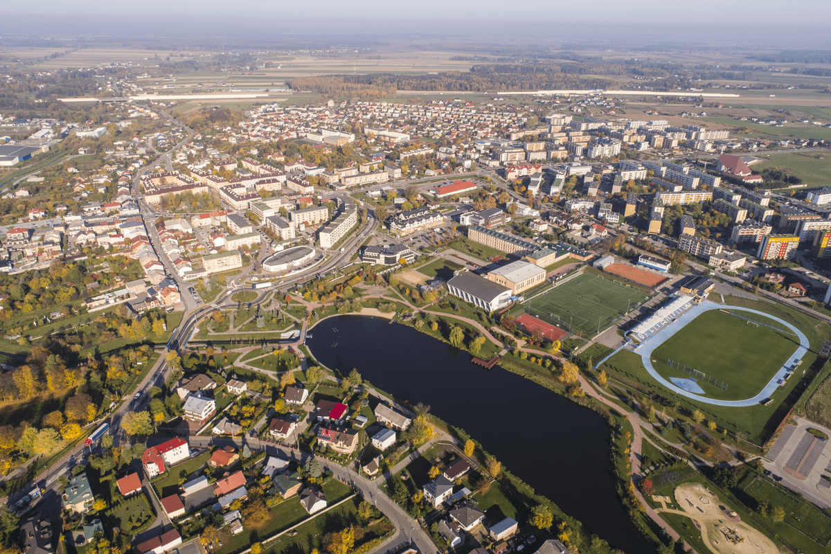
One of the specialisations of Warszawskie Przedsiębiorstwo Geodezyjne S.A. is the preparation of data for District Surveying and Cartographic Centres. In connection with digitization and introduction of new standards for creating geospatial databases, the District Centres (so called “podgiki”) commission a number of activities related to data conversion and establishment or modernization of district databases. Our tasks include digitization of documents constituting the National Surveying and Cartographic Resource, establishment of GESUT, BDOT 500, modernisation of the Land and Building Register.
Recently, we have been working in the districts of Wloclawek, Nakielsko, Inowroclaw and Zambrow.


